
ᱨᱮᱫ:Blank map of the world (Robinson projection) (10E).svg

Size of this PNG preview of this SVG file: ᱘᱐᱐ × ᱔᱑᱓ ᱯᱤᱠᱥᱮᱞ. ᱮᱴᱟᱜ ᱨᱤᱡᱚᱞᱩᱥᱚᱱᱥ: ᱓᱒᱐ × ᱑᱖᱕ ᱯᱤᱠᱥᱮᱞ | ᱖᱔᱐ × ᱓᱓᱐ ᱯᱤᱠᱥᱮᱞ | ᱑,᱐᱒᱔ × ᱕᱒᱙ ᱯᱤᱠᱥᱮᱞ | ᱑,᱒᱘᱐ × ᱖᱖᱑ ᱯᱤᱠᱥᱮᱞ | ᱒,᱕᱖᱐ × ᱑,᱓᱒᱑ ᱯᱤᱠᱥᱮᱞ | ᱓,᱑᱐᱐ × ᱑,᱖᱐᱐ ᱯᱤᱠᱥᱮᱞ
ᱟᱥᱚᱞ ᱨᱮᱫ (SVG ᱨᱮᱫ, ᱱᱚᱨᱢᱟᱞᱛᱮ ᱓,᱑᱐᱐ x ᱑,᱖᱐᱐ pixels, ᱨᱮᱫ ᱡᱟᱜᱟ: ᱑.᱓᱓ MB)
_(10E).svg)

|
This file has been superseded by BlankMap-World.svg. It is recommended to use the other file. Please note that deleting superseded images requires consent. Reason to use the other file: "Due to a lot of finer detail being regularly updated, it is recommended to use the original file. If a colored version is indeed needed, please take your time update this file from the latest version of the original – it is a fairly trivial exercise that can be done in a couple minutes using a text editor."
|
ᱢᱩᱬᱩᱛ ᱠᱟᱛᱷᱟ
| ᱵᱤᱵᱚᱨᱚᱱᱤ |
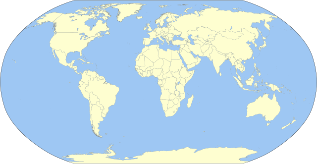
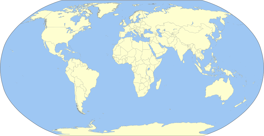
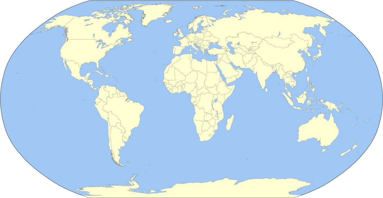
English: A detailed Robinson-projection SVG blank political map with grouping enabled to connect all non-contiguous parts of a country's territory for easy colouring. Smaller countries can also be represented by larger circles to show their data easier. A thorough description of use and other instructions relating to can be found on the instruction page. |
||
| ᱢᱟᱹᱦᱤᱛ | |||
| ᱯᱷᱮᱰᱟᱛ | Own work based on: BlankMap-World.svg by Canuckguy | ||
| ᱚᱱᱚᱞᱤᱭᱟᱹ | Milenioscuro | ||
| Other versions | Derivative works of this file: Corrientes-oceanicas.svg | ||
| SVG genesis |
|
ᱞᱟᱭᱥᱮᱱᱥ ᱛᱮᱭᱟᱨ
I, the copyright holder of this work, hereby publish it under the following license:
| I, the copyright holder of this work, release this work into the public domain. This applies worldwide. In some countries this may not be legally possible; if so: I grant anyone the right to use this work for any purpose, without any conditions, unless such conditions are required by law. |
Original upload log
This image is a derivative work of the following images:
- BlankMap-World.svg licensed with PD-self
Uploaded with derivativeFX
ᱨᱮᱫ ᱨᱮᱭᱟᱜ ᱱᱟᱜᱟᱢ
ᱚᱠᱛᱚ ᱨᱮ ᱞᱤᱱ ᱢᱮ/ᱚᱠᱛᱚ ᱨᱮ ᱨᱮᱫ ᱧᱮᱞ ᱞᱟᱹᱜᱤᱛ ᱞᱤᱱ ᱢᱮ
| ᱢᱟᱹᱦᱤᱛ/ᱚᱠᱛᱚ | ᱴᱤᱯ | ᱡᱚᱠᱷᱟ | ᱵᱮᱵᱷᱟᱨᱤᱭᱟᱹ | ᱠᱟᱛᱷᱟ | |
|---|---|---|---|---|---|
| ᱱᱤᱛᱚᱜ | ᱒᱓:᱑᱐, ᱒ ᱚᱠᱴᱚᱵᱚᱨ ᱒᱐᱒᱓ | | ᱓,᱑᱐᱐ × ᱑,᱖᱐᱐ (᱑.᱓᱓ MB) | Milenioscuro | Reverted to version as of 03:06, 7 March 2015 (UTC) |
| ᱐᱘:᱔᱗, ᱑ ᱚᱠᱴᱚᱵᱚᱨ ᱒᱐᱒᱓ |  | ᱓,᱑᱐᱐ × ᱑,᱖᱐᱐ (᱑.᱓᱕ MB) | Caawiyahaderon | https://www.thehindu.com/news/international/pro-somalia-militia-takes-key-army-base-in-breakaway-region/article67238670.ece | |
| ᱐᱓:᱐᱖, ᱗ ᱢᱟᱨᱪ ᱒᱐᱑᱕ |  | ᱓,᱑᱐᱐ × ᱑,᱖᱐᱐ (᱑.᱓᱓ MB) | Milenioscuro | new color scheme | |
| ᱑᱙:᱐᱘, ᱒᱙ ᱱᱚᱵᱷᱮᱢᱵᱚᱨ ᱒᱐᱑᱔ |  | ᱓,᱑᱐᱐ × ᱑,᱖᱐᱐ (᱒ MB) | David1010 | new | |
| ᱑᱕:᱑᱖, ᱙ ᱚᱠᱴᱚᱵᱚᱨ ᱒᱐᱑᱒ |  | ᱓,᱑᱐᱐ × ᱑,᱖᱐᱐ (᱑.᱙᱙ MB) | Milenioscuro | + Puerto Rico | |
| ᱐᱔:᱑᱘, ᱑᱖ ᱢᱮ ᱒᱐᱑᱑ |  | ᱓,᱑᱐᱐ × ᱑,᱖᱐᱐ (᱑.᱙᱙ MB) | Milenioscuro | {{Information |Description={{en|1=A detailed Robinson-projection SVG map with grouping enabled to connect all non-contiguous parts of a country's territory for easy colouring. Smaller countries can also be represented by larger circles to sho |
ᱯᱷᱟᱭᱤᱞ ᱵᱮᱣᱦᱟᱨ
ᱞᱟᱛᱟᱨ ᱨᱮᱭᱟᱜ ᱥᱟᱦᱴᱟ ᱡᱚᱱᱚᱲᱠᱚ ᱱᱤᱭᱟᱹ ᱨᱮᱫ ᱨᱮ:
ᱡᱮᱜᱮᱛ ᱡᱟᱠᱟᱛ ᱨᱮᱫ ᱵᱮᱵᱷᱟᱨᱟᱜ
ᱱᱚᱶᱟ ᱨᱮᱫᱠᱚ ᱵᱮᱵᱷᱟᱨᱟᱠᱟᱫ ᱣᱤᱠᱤᱠᱚ :
- ast.wikipedia.org ᱨᱮ ᱵᱮᱣᱦᱟᱨ
- az.wikipedia.org ᱨᱮ ᱵᱮᱣᱦᱟᱨ
- ba.wikipedia.org ᱨᱮ ᱵᱮᱣᱦᱟᱨ
- be.wikipedia.org ᱨᱮ ᱵᱮᱣᱦᱟᱨ
- bg.wikipedia.org ᱨᱮ ᱵᱮᱣᱦᱟᱨ
- ca.wikipedia.org ᱨᱮ ᱵᱮᱣᱦᱟᱨ
- cs.wikipedia.org ᱨᱮ ᱵᱮᱣᱦᱟᱨ
- dag.wikipedia.org ᱨᱮ ᱵᱮᱣᱦᱟᱨ
- da.wikipedia.org ᱨᱮ ᱵᱮᱣᱦᱟᱨ
- en.wikipedia.org ᱨᱮ ᱵᱮᱣᱦᱟᱨ
- User:Acad Ronin
- User:Tcr25
- User:Bduke
- Wikipedia:Userboxes/Interests
- User:Arkiedragon
- User:Xgravity23
- User:Adamw1993
- User:Svaksha
- User:Goldsztajn
- User:Dcmacnut
- Wikipedia:Userboxes/Travel
- User:Paperworkorange
- User:Anas1712
- User:Alfie66
- Talk:Dependent territory/Archive 1
- User:Stefán Örvar Sigmundsson
- User:Arkenstrone
- User:The Emperor of Byzantium
- User:Arkiedragon/userboxes
- User:Muzilon
- User:Byrappa
- User:EdJF
- User:RubenSchade/Userboxes
- User:Duke of Geography
- User:Drdpw
- User:Rtucker913/userboxes
- User:Greatuser/userboxes
- User:Greatuser/Userboxes/countries visited
- User:Greatuser/Userboxes/countries visited/doc
- User:Guillermofdezg
- User:Liberty Pedia
- User:Gray Catbird
- Wikipedia:Userboxes/Interests/05
- User:Farmboybello
ᱱᱚᱶᱟ ᱨᱮᱫ ᱨᱮᱱᱟᱜ ᱵᱟᱹᱲᱛᱤ ᱡᱮᱜᱮᱛ ᱵᱮᱵᱷᱟᱨ ᱧᱮᱞ ᱢᱮ ᱾
_(10E).svg)
_(10E).svg)