
ᱨᱮᱫ:LocationOceans.png
ᱧᱮᱞᱡᱚᱝ ᱨᱮᱱᱟᱜ ᱟᱠᱟᱨ:᱘᱐᱐ × ᱔᱐᱗ ᱯᱤᱠᱥᱮᱞ ᱮᱴᱟᱜ ᱨᱤᱡᱚᱞᱩᱥᱚᱱᱥ: ᱓᱒᱐ × ᱑᱖᱓ ᱯᱤᱠᱥᱮᱞ | ᱖᱔᱐ × ᱓᱒᱖ ᱯᱤᱠᱥᱮᱞ | ᱑,᱐᱒᱔ × ᱕᱒᱑ ᱯᱤᱠᱥᱮᱞ | ᱑,᱒᱘᱐ × ᱖᱕᱑ ᱯᱤᱠᱥᱮᱞ | ᱒,᱗᱕᱙ × ᱑,᱔᱐᱔ ᱯᱤᱠᱥᱮᱞ
ᱟᱥᱚᱞ ᱨᱮᱫ (᱒,᱗᱕᱙ x ᱑,᱔᱐᱔ pixels, file size: ᱕᱕ KB, MIME type: image/png)

|
This locator map image could be re-created using vector graphics as an SVG file. This has several advantages; see Commons:Media for cleanup for more information. If an SVG form of this image is available, please upload it and afterwards replace this template with
{{vector version available|new image name}}.
It is recommended to name the SVG file “LocationOceans.svg”—then the template Vector version available (or Vva) does not need the new image name parameter. |
ᱢᱩᱬᱩᱛ ᱠᱟᱛᱷᱟ
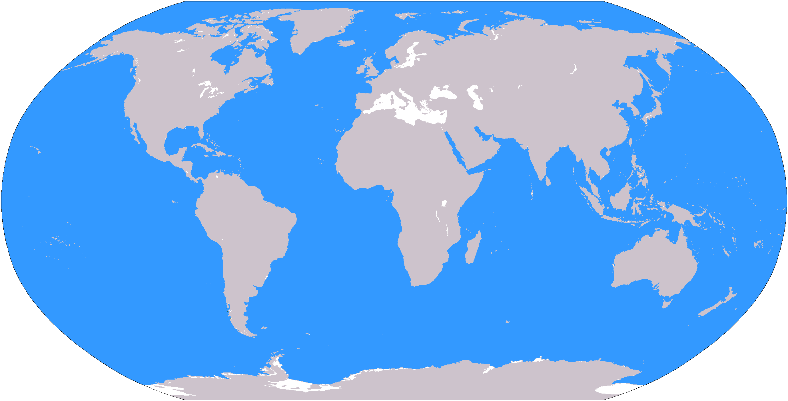
The large plain-grey Image:LocationWorld.png map modified to show oceanic areas in blue.
ᱞᱟᱭᱥᱮᱱᱥ ᱛᱮᱭᱟᱨ
This image is in the public domain because it contains materials that originally came from the United States Central Intelligence Agency's World Factbook.
|
 |
ᱨᱮᱫ ᱨᱮᱭᱟᱜ ᱱᱟᱜᱟᱢ
ᱚᱠᱛᱚ ᱨᱮ ᱞᱤᱱ ᱢᱮ/ᱚᱠᱛᱚ ᱨᱮ ᱨᱮᱫ ᱧᱮᱞ ᱞᱟᱹᱜᱤᱛ ᱞᱤᱱ ᱢᱮ
| ᱢᱟᱹᱦᱤᱛ/ᱚᱠᱛᱚ | ᱴᱤᱯ | ᱡᱚᱠᱷᱟ | ᱵᱮᱵᱷᱟᱨᱤᱭᱟᱹ | ᱠᱟᱛᱷᱟ | |
|---|---|---|---|---|---|
| ᱱᱤᱛᱚᱜ | ᱑᱙:᱒᱖, ᱘ ᱢᱟᱨᱪ ᱒᱐᱐᱖ | | ᱒,᱗᱕᱙ × ᱑,᱔᱐᱔ (᱕᱕ KB) | David Kernow~commonswiki | The large plain-grey Image:LocationWorld.png map modified to show oceanic areas in blue. |
ᱯᱷᱟᱭᱤᱞ ᱵᱮᱣᱦᱟᱨ
ᱞᱟᱛᱟᱨ ᱨᱮᱭᱟᱜ ᱥᱟᱦᱴᱟ ᱡᱚᱱᱚᱲᱠᱚ ᱱᱤᱭᱟᱹ ᱨᱮᱫ ᱨᱮ:
ᱡᱮᱜᱮᱛ ᱡᱟᱠᱟᱛ ᱨᱮᱫ ᱵᱮᱵᱷᱟᱨᱟᱜ
ᱱᱚᱶᱟ ᱨᱮᱫᱠᱚ ᱵᱮᱵᱷᱟᱨᱟᱠᱟᱫ ᱣᱤᱠᱤᱠᱚ :
- af.wikipedia.org ᱨᱮ ᱵᱮᱣᱦᱟᱨ
- Australasië
- Midde-Ooste
- Sentraal-Amerika
- Atlantiese Oseaan
- Suider-Afrika
- Indiese Oseaan
- Suidelike Oseaan
- Arktiese Oseaan
- Stille Oseaan
- Latyns-Amerika
- Oos-Asië
- Sjabloon:Gebiede van die wêreld
- Noord-Europa
- Melanesië
- Mikronesië
- Polinesië
- Oos-Afrika
- Wes-Afrika
- Noord-Afrika
- Oos-Europa
- Verre Ooste
- Sentraal-Afrika
- Afrika suid van die Sahara
- Seelandië
- Noordpoolgebied
- Karibiese gebied
- Indiese subkontinent
- Suidoos-Asië
- Wes-Asië
- Wes-Europa
- Suid-Europa
- Suid-Asië
- Sentraal-Asië
- Sentraal-Europa
- Suidoos-Europa
- Noord-Asië
- ar.wikipedia.org ᱨᱮ ᱵᱮᱣᱦᱟᱨ
ᱱᱚᱶᱟ ᱨᱮᱫ ᱨᱮᱱᱟᱜ ᱵᱟᱹᱲᱛᱤ ᱡᱮᱜᱮᱛ ᱵᱮᱵᱷᱟᱨ ᱧᱮᱞ ᱢᱮ ᱾